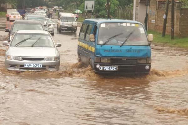
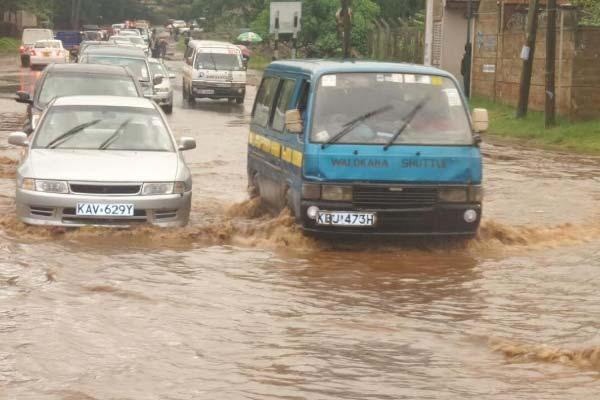
The Nairobi County Government is set to release a list of flood prone areas as the Kenya Meteorological Department issued a warning of the El-Nino rains which are set to start in October.
The report which is to be released by the county’s Planning, Environment and Roads and Infrastructure departments will map out all the hotspots areas before releasing the report.
The report is to be released in the wake of the floods that were experienced in the month of May,causing havoc and loss of lives in some parts of the city.
In the recent past some of the city estates that have experienced flooding have been South C,High rise, Loresho , Muthangare and Kileleshwa Ring Road.
Other areas that are prone to be affected by the floods are Maziwa-Ziimmerman along Kamiti Road, River Bank area, which is on Baba Dogo-Outer Ring road and Lavington- Chalbi Drive, Garden Estate, Thome, Roysambu, Kahawa West, Donholm, Mbagathi/Langata Road Roundabout, Nairobi West, Ruai, Utawala, Mukuru slums and Kibera Slums.
Apart from Nairobi the rains are expected to hit other parts of the country, during the next rainfall season of October to December 2015. The rains may extend into January 2016 in some parts of the country. The rains are likely to be characterized with floods, land and mudslides which might occur in areas with increased likelihood of enhanced rainfall.
Discover more from ULIZA LINKS NEWS
Subscribe to get the latest posts sent to your email.


